1

https://www.britannica.com/place/River-Thames

https://en.wikipedia.org/wiki/River_Thames

https://en.wikipedia.org/wiki/List_of_crossings_of_the_River_Thames

Are there ferries, ships, boats services to travel for the passengers from the source and destination points of River Thames?

Legend

235.84  Thames Head, Kemble, Gloucestershire

235.06  Thames Head Bridge (A433 - Fosse Way)

233.97  A429 Bridge and Cirencester branch line
    Midland and South Western Junction Railway Bridge

216.81  A419 Bridge, Cricklade
    Castle Eaton Bridge
    Hannington Bridge

200.96  Limit of navigation

200.83  River Coln (rises at Brockhampton)

199.72  Halfpenny Bridge, Lechlade (A361)

199.65  St John's Lock Last lock on the river; 71 m ASL
    Radcot Bridge
    Tadpole Bridge

173.18  River Windrush, Northmoor
    Newbridge
    Swinford Toll Bridge

159.34  River Evenlode, Cassington

155.46  Thames (Oxford By-pass) Bridge (A34)

110.10  Osney Rail Bridge (Cherwell Valley line)

148.88  River Cherwell, Oxford, partly canalised

146.83  Isis Bridge - Oxford Ring Road (A423)

110.10  Kennington Railway Bridge (Goods Line)
    Nuneham Railway Bridge (GWR to Birmingham)

136.47  Abingdon Bridge (A415) — Abingdon & Culham
    Sutton Bridge

131.02  Appleford Railway Bridge (GWR to Birmingham)
    Clifton Hampden Bridge
    River Thame, Dorchester on Thames
    Shillingford Bridge

115.41  Wallingford Bridge — Wallingford & Crowmarsh Gifford

110.10  Moulsford Railway Bridge (GWR to Bristol)
    Goring and Streatley Bridge

105.94  Goring Bridge (GWR to Bristol)
    Whitchurch Bridge

89.74   Caversham Bridge, Reading (A4155)

87.41   River Kennet, canalised, Reading

79.24   River Loddon, Wargrave
    Sonning Bridge
    Shiplake Railway Bridge

73.72   Henley Bridge (A4130) — Henley-on-Thames & Remenham

60.75   Marlow Bridge, Marlow

60.04   Marlow By-pass Bridge, Marlow, (A404)
    Bourne End Railway Bridge
    Cookham Bridge
~50 Jubilee River — Maidenhead

49.10   Maidenhead Railway Bridge (GWR to Bristol etc.)

46.67   M4 Bridge — Dorney & Bray

40.03   Queen Elizabeth Bridge, (A332) — Eton & Windsor
    Windsor branch line bridge

38.91   Windsor Bridge — Eton & Windsor

~35 Jubilee River — Eton
    Windsor & Eton Riverside station bridge

28.46   Colne Brook, Wraysbury

28.45   Runnymede Bridges (A30 & M25) — Staines-upon-Thames & Egham

27.82   Staines Bridge (A308) — Staines-upon-Thames & Egham Hythe

27.70   River Colne, Staines-upon-Thames
    Staines Railway Bridge

21.34   M3 bridge — Chertsey & Laleham

20.80   Chertsey Bridge (B375) — Chertsey & Shepperton

17.32   The Bournes (1, 2), Addlestone

17.08   Wey and its navigation, Addlestone & Weybridge

14.43   Walton Bridge (A244) — Shepperton & Walton-on-Thames

7.53    Hampton Court Bridge (A309) — Hampton Court & East Molesey

7.45    River Mole, East Molesey & Thames Ditton

3.34    Kingston Bridge — Hampton Wick & Kingston upon Thames
    Kingston Railway Bridge

0.64    Teddington Lock, Weir & Bridges Tidal limit

0.0 Teddington Boundary Stone   (PLA / DoE)
    Richmond Bridge
    Richmond Railway Bridge

-4.52   Twickenham Bridge (A316) — Twickenham & Richmond

-4.80   Richmond Lock and Footbridge

-6.11   River Crane, Twickenham & Isleworth

-7.71   River Brent/Grand Union Canal

-8.80   Kew Bridge, South Circular Road (A205) (Brentford & Kew)
    Kew Railway Bridge (District line and former British Rail)

-10.86  Chiswick Bridge (A316) — Chiswick & Mortlake
    Barnes Railway Bridge
    Hammersmith Bridge — Hammersmith

-17.84  Putney Bridge, (A219) — Fulham & Putney
    Fulham Railway Bridge (District line)

-18.95  River Wandle, Wandsworth

-19.44  Wandsworth Bridge, (A217) — Fulham & Wandsworth

-20.84  Battersea Railway Bridge

-21.88  Battersea Bridge, (A3220) — Chelsea & Battersea

-23.66  Victoria Railway Bridge

-25.24  Vauxhall Bridge (A202) — Pimlico & Vauxhall

-26.01  Lambeth Bridge (A3202) — Millbank & Lambeth

-26.55  Westminster Bridge (A302) — Central London

-27.35  Charing Cross Bridge & Station (S Coast)

-28.01  Waterloo Bridge (A301) — Central London

-28.55  Blackfriars Bridge (A201) — Central London

-28.63  Blackfriars Rly Bridge/Station (Thameslink)
    Millennium Bridge

-29.10  Southwark Bridge (A300) — Central London
    Cannon Street Railway Bridge and Cannon St. Station

-29.80  London Bridge (A3) 8.7 m headway — Central London

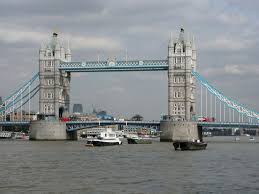
-30.69  Tower Bridge (A100) 42.5 m headway — City of London & Bermondsey
    Thames Tunnel on the East London line

-32.83  Rotherhithe Tunnel (A101) — Limehouse & Rotherhithe

-33.65  Regent's Canal

-40.08  Blackwall Tunnel (A102) — Blackwall & Greenwich Peninsula

-41.06  River Lea and its navigation: Bow Creek Blackwall & Canning Town

-43.51  Thames Barrier

-45.24  Woolwich Ferry (links A406 with A205) — North Woolwich & Woolwich

-48.55  Barking Creek/River Roding

-59.25  River Darent / Dartford Creek

-61.96  Dartford Crossing (A282 (N)) — West Thurrock & Dartford

-62.04  Queen Elizabeth II Bridge (A282 (S)) 54.1 m headway — West Thurrock & Dartford

-64.76  Channel Tunnel Rail Link

-69.66  Tilbury Docks

-87.72  Holehaven Creek

-99.42  Southend Pier, Southend-on-Sea

-103.9  River Medway & Sheerness Docks

-110.6  Foulness Point, Essex/Warden Point, Kent (PLA limit)
    End of Thames Estuary — North Sea

Thanks & Regards,

Prashant S Akerkar
enter image description hereenter image description hereenter image description hereenter image description hereenter image description here

4
  • 4
    There are no boats upstream of the limit of navigation (which is 35 miles from the source, according to your table). Commented May 30, 2021 at 11:25
  • 3
    @AndrewLeach more precisely there are no boats big enough for what the OP would appear to want - many stretches can be kayaked. Commented Jun 1, 2021 at 10:19
  • 2
    How has robotics crept into the question? Is this mutating into a spam post? Commented Jun 2, 2021 at 9:11
  • 1
    Prashant Akarkar, please do not add more pictures and do not add other topics to the question. Neither are needed, and take away from the question asked. Robotics do not fit with a river journey on the Thames. It was going to look like spam and will be closed and deleted if it turns more spammy.
    – Willeke
    Commented Jun 2, 2021 at 16:16

3 Answers 3

3

I would be surprised if any river could be navigated from source to sea, unless fed from a lake or glacier. The source of a river is usually defined as the most distant point following the water upstream from the mouth, and will almost always be very small indeed.

In the case of the Thames, at Cotswold Water Park it also becomes very fragmented, with lots of lakes of various depths, some of which have some form of public access.

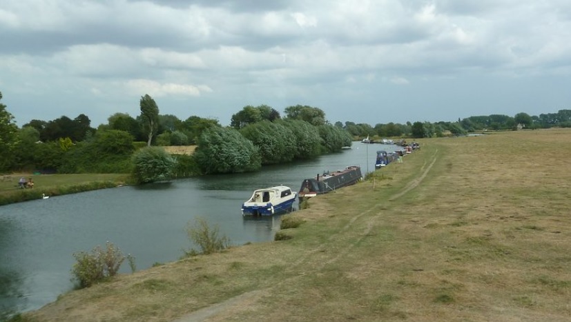
Above about Lechlade, while there are pools that would take a small boat, the river isn't passable along its length. At Cricklade (Street View photo) the water doesn't look deep enough to kayak and even swimming would involve some walking the riverbed (I've swum at Marlow and Lechlade, but no higher; I might try near Cricklade this summer)

Hiring a self-drive boat (example, I know nothing about this company) you could tour from west London to Oxford. I did a bit of this about 30 years ago as a child. In London there are many sightseeing boats though getting to the estuary would be harder. Above Oxford there are rental options, but most aren't designed for continuous travel; I did have to watch out for some boats that were when swimming at Lechlade ,but these may have been privately owned.

In summary, if you want to explore the entire length of the Thames, you won't do it all by boat.

6

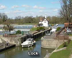
The River Thames is navigable to "200.96 Limit of navigation". Not far downstream of that is Lechlade (on southern edge of the Cotswolds in Gloucestershire), where this Tripadvisor page shows boating.

enter image description here

You can generally rent boats by the hour, day or week, and in some places take organised river tours and cruises, along the navigable length of the Thames. Here is one example of many:

River Cruises from Lechlade

(no affiliation), but probably not continuously, although if you want to organise a trip from the source to the limit of navigation you may well be able to charter a small boat to take you, if you don't feel up to renting one yourself.

Edit: indeed there are ways to do it that can be arranged for you. Please see

River Thames: Hike, Bike & Kayak (Source to Sea)

Follow the iconic River Thames from the Cotswolds to Windsor

Pick up a paddle, lace up your boots and adjust your helmet for an action-packed adventure down England’s most iconic River – the Thames. Walk, cycle and canoe your way from the Cotswolds to Windsor, marvelling at quintessential British scenery and stopping off for plenty of pub lunches along the way. With a local leader at the helm, you can leave your worries in your wake as all the little details are taken care of. Explore charming villages, medieval towns and the fascinating city of Oxford, then in the evenings, rest your head in traditional inns filled with as much history as the destinations themselves.

16
  • 2
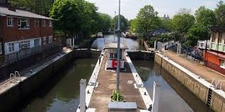
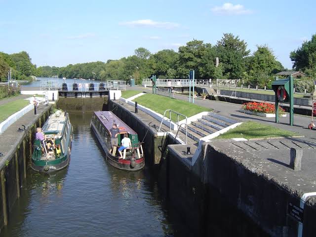
    There probably isn't any regular service above the first lock (Teddington), apart from local tourist services. One big reason is the locks – 45 of them – which restrict the size of boats that can be used and considerably add to the journey time (there can be a queue). So if you have in mind something like the tourist services on the lower reaches of the Thames – no. Although, money can buy anything and it is quite possible to charter a boat and its crew to take you wherever is navigable, but I don't know of one myself. Ask Mr google! Commented Jun 1, 2021 at 7:25
  • 1
    This journey time calculator says it is 123 miles from The uppermost lock (St John's) to Teddington, and going downstream at a constant 8 km/h would take more than 25 hours excluding the time taken to navigate the locks. A river cruise is a leisurely activity, and an open timetable is best. Commented Jun 1, 2021 at 7:35
  • 1
    My guess is that you would need at least a week for the one-way journey unless you want to set a world record. Likewise you can do a round-the-world trip in a few days, but it would not be a very enjoyable experience. Commented Jun 1, 2021 at 7:37
  • 2
    @WeatherVane above Teddington Lock (i.e. on the non-tidal river) you can hire a boat and drive it yourself, with no prior experience. Commented Jun 1, 2021 at 10:37
  • 2
    No, because the river's geography is stable, and navigation is established. Suppose an unknown river is discovered, which is navigable except for some rapids where the water tumbles and is impassable by boat. An engineer might construct a channel to one side, with a lock to allow boats to move to the different level. Commented Jun 1, 2021 at 19:28
2

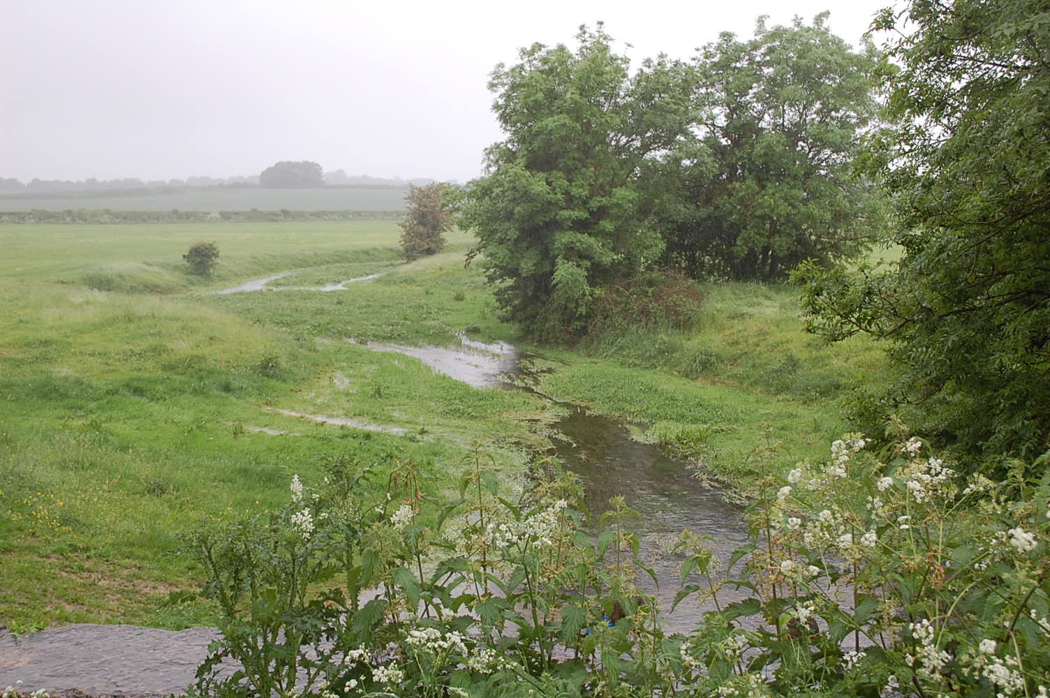
Here is a picture of the Thames, very close to its source. source of the Thames

As you can see, no boats are going to be navigating it, not even a kayak. A rubber duck would find it challenging.

You must log in to answer this question.

Not the answer you're looking for? Browse other questions tagged .