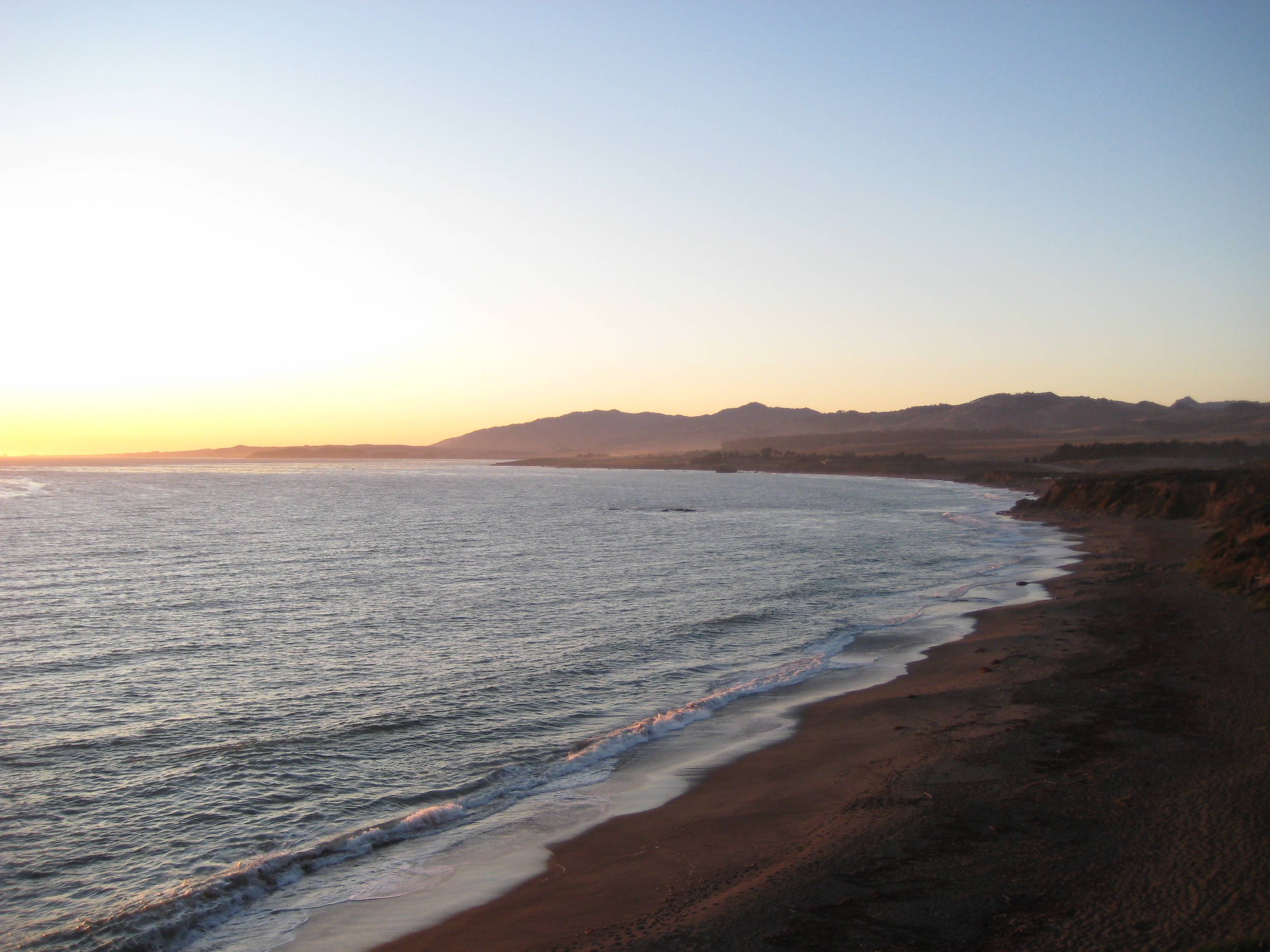
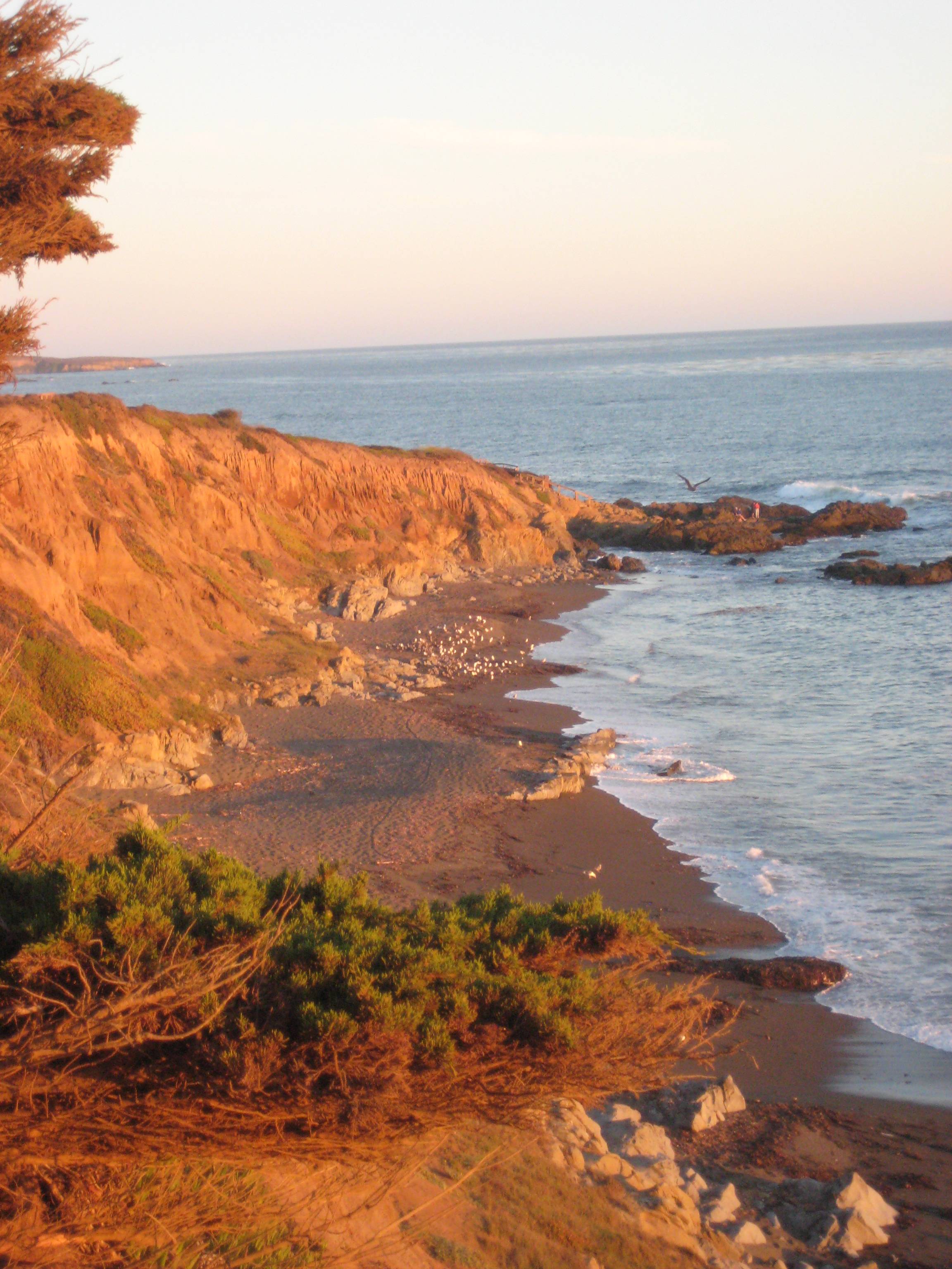
We watched the sunset here on August 5th 2009 and am struggling to find the location. I know it's between Hurricane Point and San Luis Obispo off the Pacific Coast Highway in California. Besides that I am not sure where it is.
-
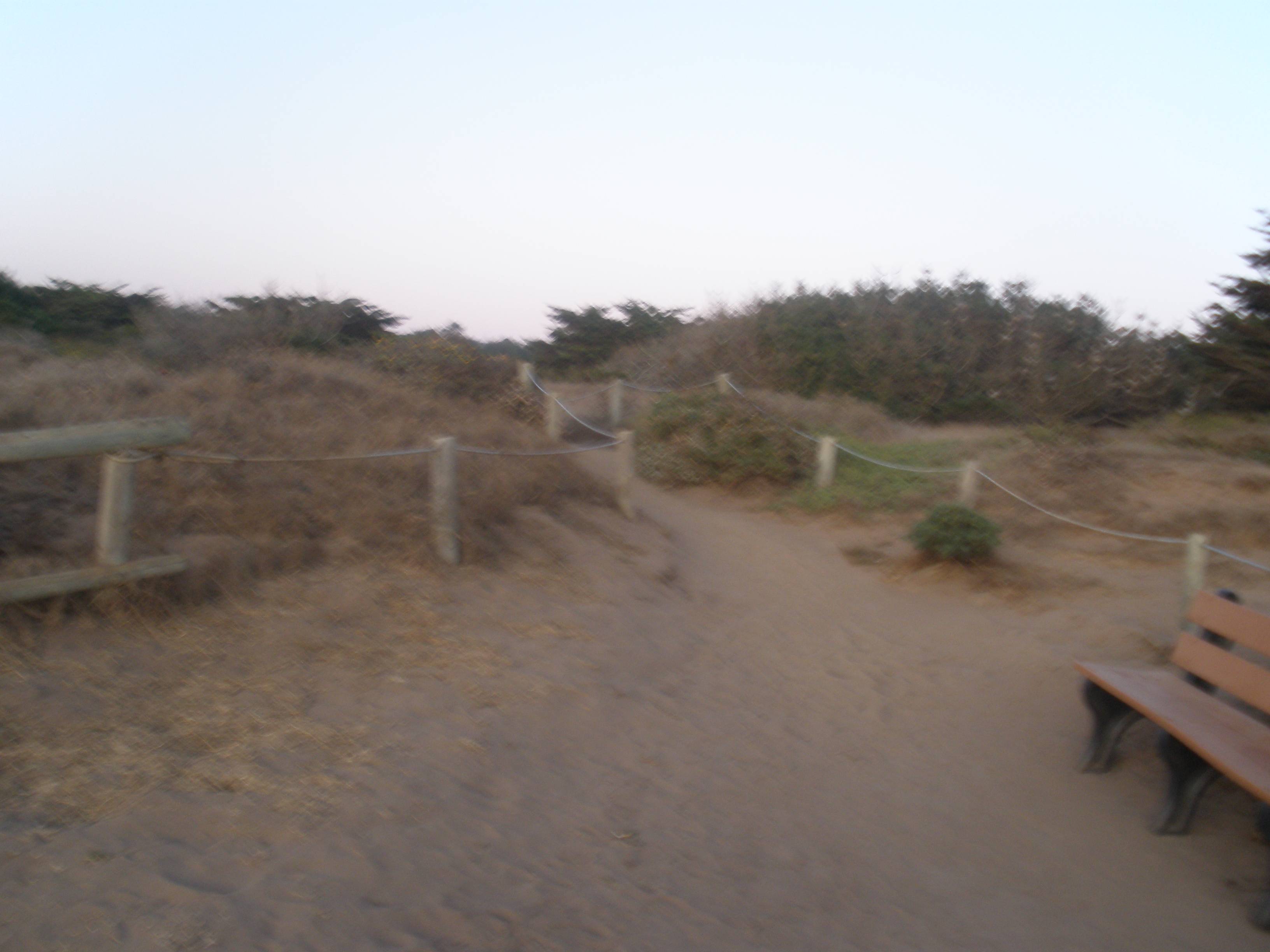
3The first picture's general location was easily found by matching the profile of the mountains with what's seen on Google Street View; this photo was taken south of Piedras Blancas Light Station and north of San Simeon. The beach and path and bench and vegetation are wholly consistent with the San Luis Obispo County coast. After a fun half-hour, however, I can't find matching Street View photos to show the specific location.– DavidRecallsMonicaCommented Jul 1, 2021 at 4:35
-
On what kind of device was the picture taken? If the device has a GPS, you can read the geotag– Juliana Karasawa SouzaCommented Jul 1, 2021 at 11:17
-
@DavidSupportsMonica Thanks for checking this! I found it, it was actually a little bit south of San Simeon! I will answer the question with the location I found.– lonewookieCommented Jul 1, 2021 at 15:07
-
1@JulianaKarasawaSouza Unfortunately no GPS data! This was back before I had a smart phone!– lonewookieCommented Jul 1, 2021 at 15:07
Add a comment
|
1 Answer
After some more browsing on Google Maps I found the location!
It is the Leffingwill Landing Area between San Simeon and Cambria. I verified by checking the coastline looking north in my original photos and photos/photospheres taken at the location.


