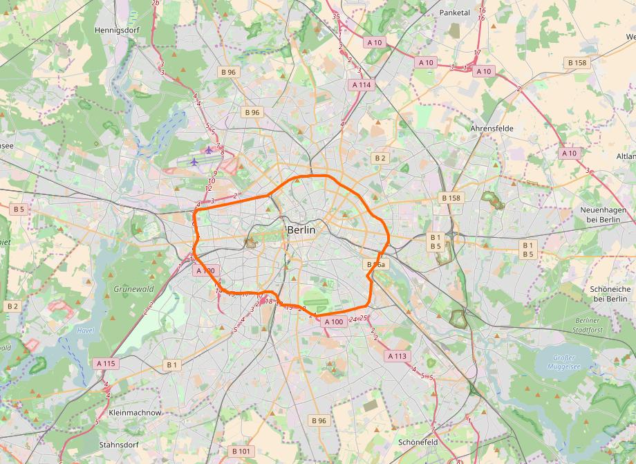
The most official source is the Umweltbundesamt (UBA), the Federal Environment Agency. You can use the GIS website of the UBA, which provides nice PDFs of each Umweltzone. Example: Berlin (Euro 3). There's a map of Germany as a whole as well.
A less official site, but with a much broader approach, is Urban Access Regulations, which collects more classes of restrictions in one place, but with a slightly harder to use interface and a much slower site. Example: Berlin. It also links detail maps, if provided by the municipality (example: Berlin).
My first idea was to use OpenStreetMap, which also has a layer for the Umweltzonen, but the layer's proposal hasn't left the Draft status, so I wouldn't expect it to be complete. Nonetheless, the tag appears on quite a lot of cities all over Europe, so you might give it a try, starting here (beware the Status column!) and clicking the number in the Link column to find the OSM detail map. (Example: Berlin.)

