In about three weeks one of Europe's most widely known events will take place: the legendary running of the bulls in Pamlona, or known locally as the "Fiesta de San Fermín".
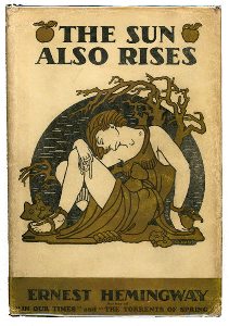
The city is famous worldwide for the running of the bulls during the San Fermín festival, which is held annually from July 6 to 14. This festival was brought to literary renown with the 1926 publication of Ernest Hemingway's novel The Sun Also Rises.
Those with a literary background will turn their thoughts to the individual who propelled this festival into its legendary status, Ernest Hemingway in his biographical novel "The Sun Also Rises". The novel is autobiographical and the events and characters are real.
By Source, Fair use, https://en.wikipedia.org/w/index.php?curid=15169050
This is part 1 of a two part question seeking to recreate Hemingway's route to Pamplona. So he left the seedy bordellos of Montparnasse and took the 20 minute walk to Gare d'Orsay where boarded a train to Navarre. But today that station is a museum. What station would one go to today?
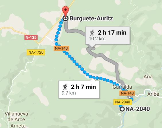
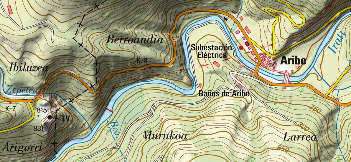
Hemingway's first stop on the way to Pamplona, and the "meat" of this question involves the sleepy village of Burguete-Auritz where he stopped for a day of trout fishing on the Irati River.
We have this strongly autobiographical description...
The road went up a hill and we got into thick woods, and the road kept on climbing. Sometimes it dipped down but rose again steeply. All the time we heard the cattle in the woods. Finally, the road came out on the top of the hills. We were on the top of the height of land that was the highest part of the range of wooded hills we had seen from Burguete. There were wild strawberries growing on the sunny side of the ridge in a little clearing in the trees.
Ahead the road came out of the forest and went along the shoulder of the ridge of hills. The hills ahead were not wooded, and there were great fields of yellow gorse. Way off we saw the steep bluffs, dark with trees and jutting with gray stone, that marked the course of the Irati River.
"We have to follow this road along the ridge, cross these hills, go through the woods on the far hills, and come down to the Irati valley," I pointed out to Bill.
That seems clear enough, and later there is this dead give away...
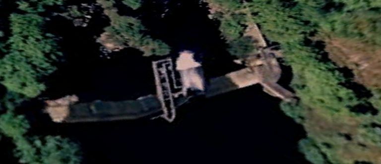
I got my rod that was leaning against the tree, took the bait-can and landing-net, and walked out onto the dam. It was built to provide a head of water for driving logs. The gate was up, and I sat on one of the squared timbers and watched the smooth apron of water before the river tumbled into the falls. In the white water at the foot of the dam it was deep.
Where is this dam? How can someone get there? Or if it's no longer there, where was it situated?
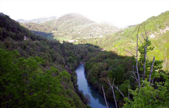
One pilgrim provided this "hypothetical" image...

It looks right for trout, but there's no dam and no indication that a dam was there.
Question: how can a literary pilgrim reach this fishing spot, the place that matches what was written?
See also: Following in the Footsteps of Hemingway in Italy
See also: Literary Pilgrimage to Top Withens
Vaguely related: If you only had two days in Venice

where-on-earthbe a better tag thanparis, since Paris is only related to the context, not the substance, of the question?